Our Services
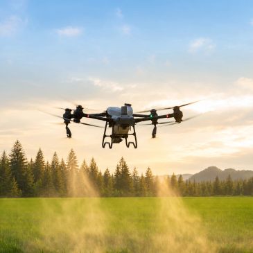
Agricultural Services
Aerial Photography & Video
Aerial Photography & Video
Drone application services for fertilizer, seed, and crop treatments. Projects are reviewed for site conditions and operational requirements.
Aerial Photography & Video
Aerial Photography & Video
Aerial Photography & Video
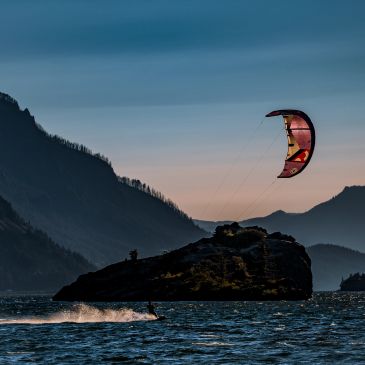
Capture aerial photos and video for properties, businesses, promotional content, and specialized projects. Scope and deliverables are agreed before scheduling.
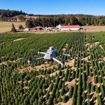
Crop Monitoring & Mapping
Aerial Photography & Video
Crop Monitoring & Mapping
Multispectral imagery and detailed aerial maps help identify crop variability, guide field scouting, and track changes over time. Monitoring plans and deliverables are tailored to your project.